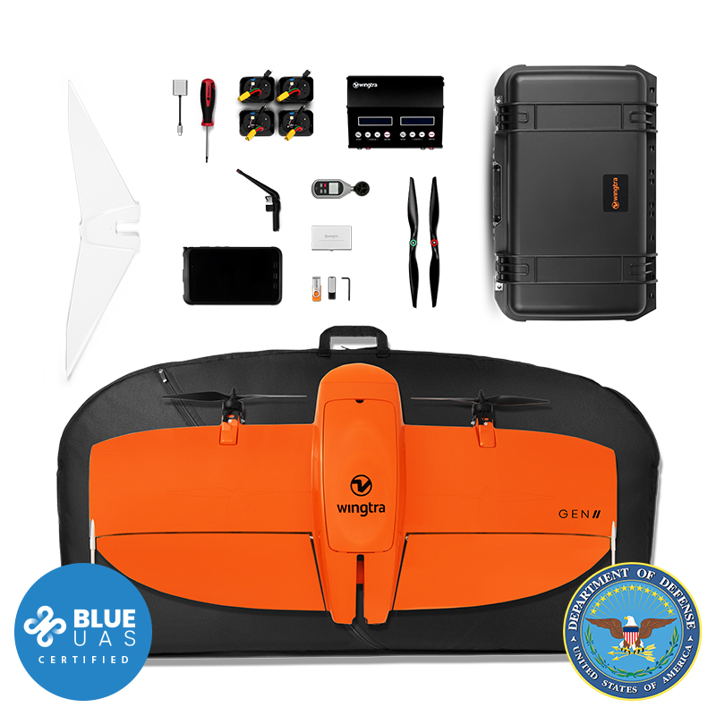
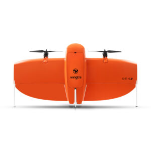
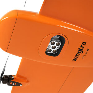
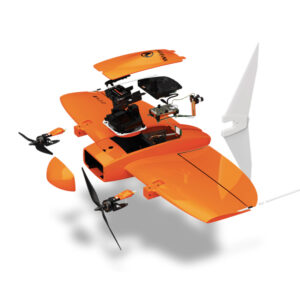
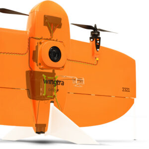
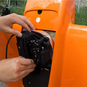
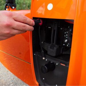
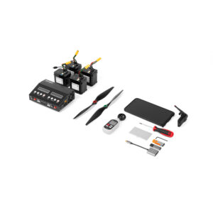
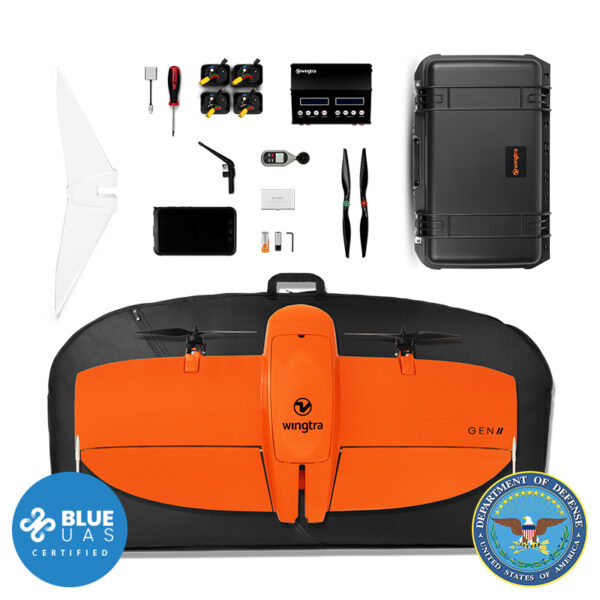
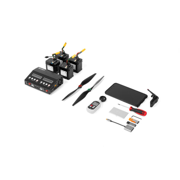
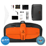
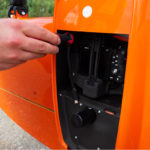
WingtraOne GEN II drone x 1
Carrying sleeve x 1
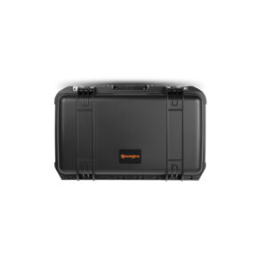
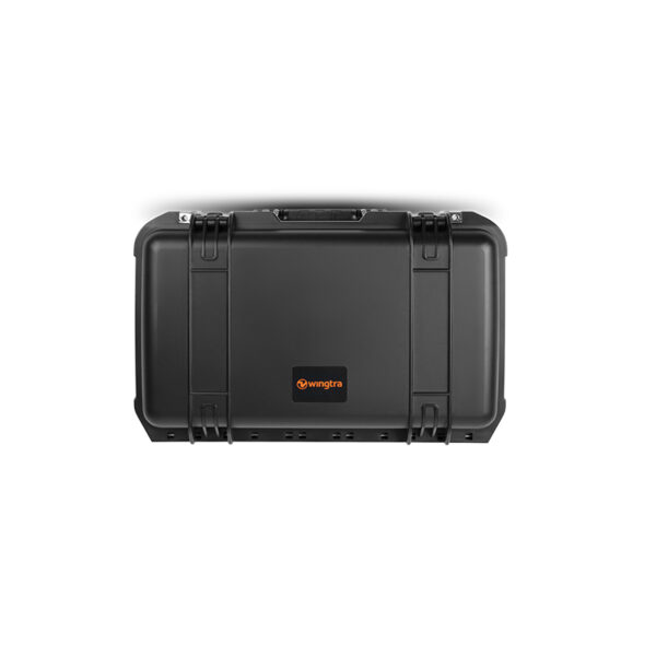
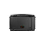
Carrying case for accessories (pilot box) x 1
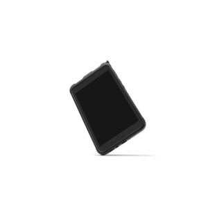
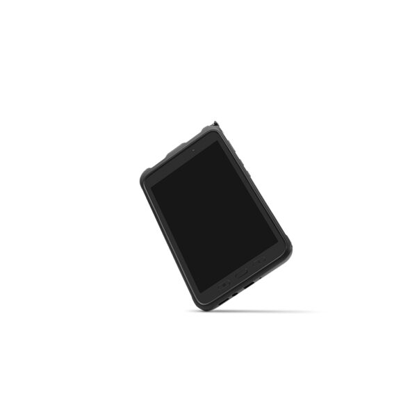
Tablet including WingtraPilot flight planning software x 1
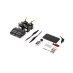
Telemetry module (2.4 Ghz) 2x pairs of batteries x 1
Charging station x 1
Anemometer x 1
SD card adapter x 1
Micro SD card reader x 1
Pair of side stands x 1
Middle stand x 1
Torx screw driver T10 x 1
Torx T10 key x 1
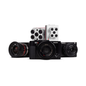
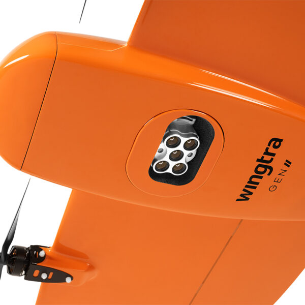
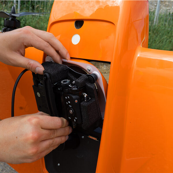
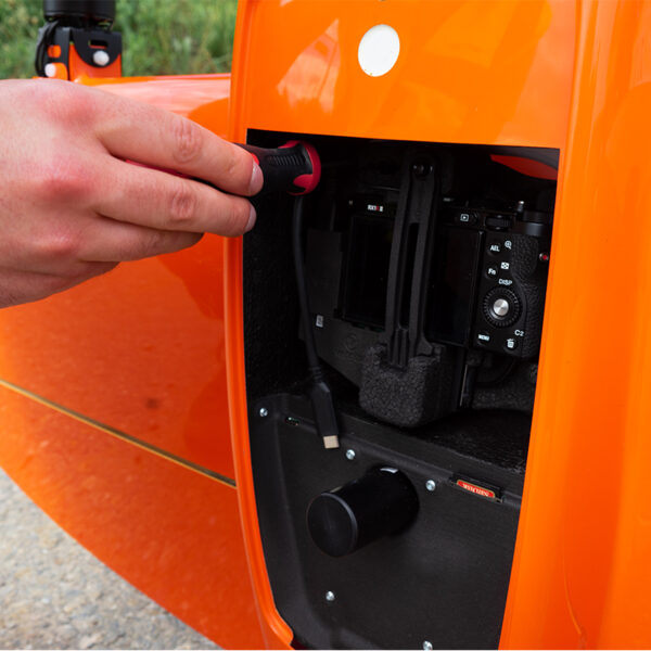
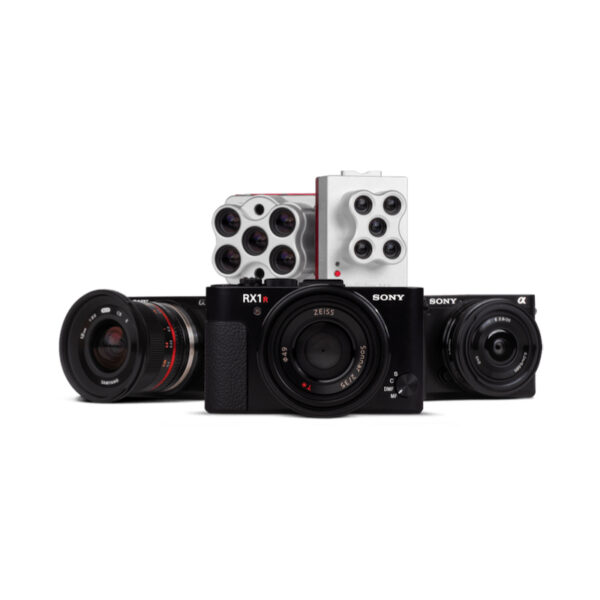
Sony RX1 Gen II Camera Payload x 1
PPK Activation License x 1
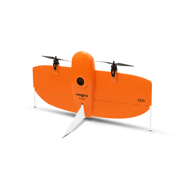
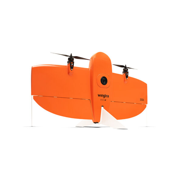
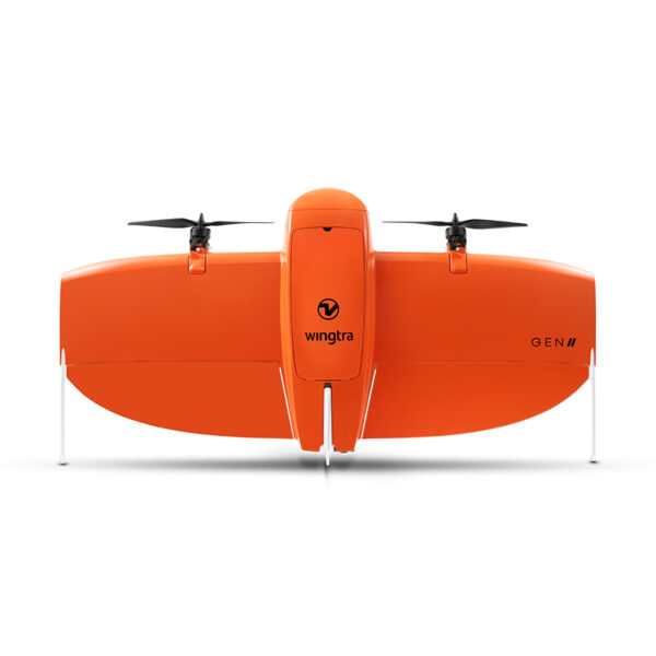
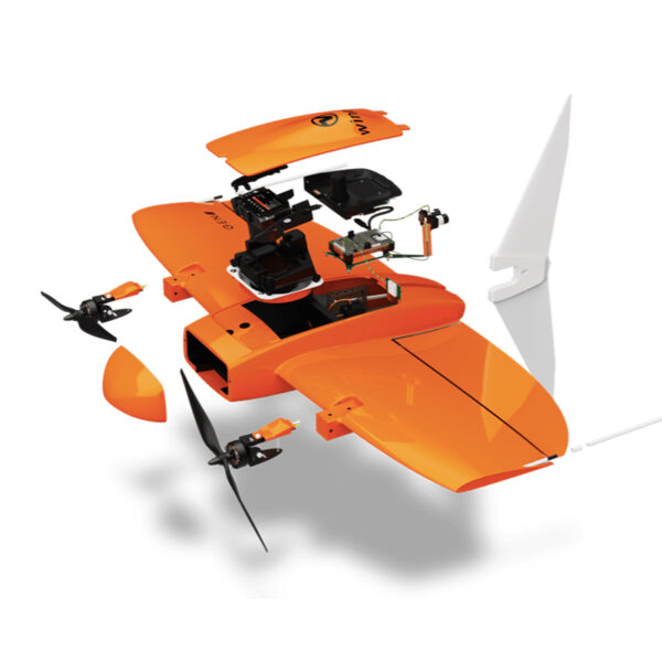
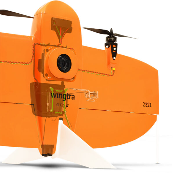
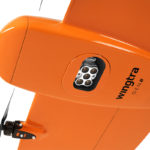
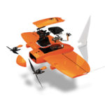
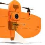
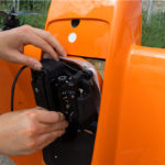

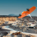

WingtraOne Gen II Drone Flight Bundle – GSA Approved
$33,900.00
Bundle used in our Datasets Demonstration. GSA Approved. BLUE UAS Certified.
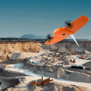
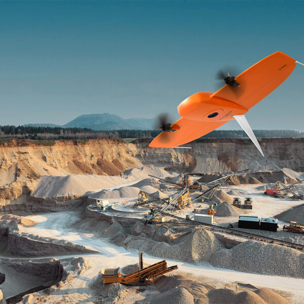
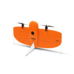
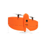
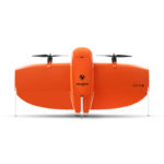
The WingtraOne GENII PPK UAV is a fully autonomous, professional-grade fixed-wing vertical takeoff & landing (VTOL) drone designed specifically for long-distance / large-area surveying applications.
Request a Quote
WingtraOne flights are pre-planned via the intelligent, intuitive WingtraPilot software. With the touch of a button, the UAV is in the air and automatically capturing surveying data. Capable of flight times up to 59 minutes, the WingtraOne is tailor-made to cover large distances with greater accuracy and efficiency.
Unlike other fixed-wing drones, the WingraOne takes off vertically like a multirotor, even on difficult terrain or challenging surroundings. This eliminates the need to hand launch the UAV or use catapults, making the WingtraOne an ideal solution for confined takeoff areas.
The WingtraOne VTOL is compatible with a variety of payloads including the Sony QX1, Sony RX1RII, Micasense RedEdge, and Micasense Altum. It is ideally suitable for various applications, including:
- Surveying & mapping
- Precision agriculture
- Infrastructure inspection
Wingtra BLU
The best civilian mapping drone is now government approved!
- NDAA compliant hardware
- DIU approved Authority to Operate
- Tested for cyber security and safe to fly
- Approved for government operations
What is BLU?
BLU is our government-approved software (WingtraPilot) that enables encrypted telemetry and air-gapped mode. These features mean WingtraOne GEN II can operate in accordance with the US Defense Innovation Unit’s (DIU) Authority to Operate (ATO) even in disconnected environments. Each WingtraOne GEN II (2022) now features an NDAA-compliant wing, sensors and active components.
Who can BLU their GEN II drone?
Everyone with a WingtraOne GEN II (2022) who wishes to operate a BLU drone that is cyber secure and NDAA compliant can do so now with the BLU software. In addition, it’s now available for procurement and operation by the US Department of Defense (DoD) without a waiver to operate. It’s also available to other federal government agencies who wish to follow suit.
What you get with Wingtra BLU
- DIU approved Authority to Operate including ChaCha20 (256-bit security level) telemetry encryption and air-gapped operations
- Repeatable absolute horizontal accuracy down to 0.39 in with PPK support for all payloads
- Reliable flight operations even in sustained winds up to 12 m/s (27 mph) and gusts up to 18 m/s (40 mph)
- 59 minutes per flight for large coverage with Wingtra’s uniquely efficient fixed-wing design
- Simplified workflow and intuitive user experience with a rugged tablet and a feature-rich, easy-to-use flight planning app
- Predictive self-diagnosis using advanced machine learning algorithms based on thousands of flights
Map faster
WingtraOne empowers you to minimize your time flying and get more work done, be it another project in the field or analyzing your data at the office.
Map larger
Whether it’s a highway or a mine, you can now take on large projects that were previously impossible to map with a drone.
Map anywhere
Thanks to its VTOL design, WingtraOne can take-off and land almost anywhere—even in confined spaces or on rough terrain. This enables you to collect data where other drones cannot.
Efficient fixed-wing flight
Fly at 16 m/s (36 mph) for up to 59 minutes per flight for large coverage.
42 MP camera
WingtraOne can fly higher than drones limited to 20 MP cameras, so you capture more ground and more detail with every picture and a larger area per flight.
No more GCPs, checkpoints only
With an onboard high-precision PPK GNSS receiver you no longer need to lay out ground control points (GCPs). Use as few as three checkpoints to verify your map quality.
Lower image overlaps
High quality optics means you can reconstruct your map reliably even with lower overlaps. This means more new ground covered per flight line and maximum coverage per flight.
Data collection speed
Up to 8x faster than multicopter drones
Up to 2x faster than standard fixed-wing drones
Data quality that will set you apart
Together with a multi-frequency PPK GNSS receiver and a 42 MP sensor, WingtraOne delivers best-in-class absolute horizontal accuracy, down to 1 cm (0.4 in) without GCPs.
Absolute horizontal accuracy down to 1 cm (0.4 in)
GSD down to 0.7 cm/px (0.3 in/px)
A reliable workhorse
No matter the conditions, WingtraOne operates safely and delivers high-quality data, consistently.
Engineered and assembled in Switzerland
Each drone is subjected to more than 300 rigorous tests to ensure the highest quality standard.
Industry-leading reliability
More than 100,000 flights and 6 years of continuous testing and enhancements will ensure maximum up-time for your operations.
Predictive self-diagnosis
WingtraOne self-diagnosis component malfunctions using advanced machine learning algorithms based on thousands of flights.
Automated safety checks
Before every flight, the WingtraOne automatically checks its own sensors and actuators to make sure you can fly safely.
A camera for every job
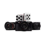
WingtraOne makes no compromises on aerial image quality. Whether you need data for orthophotos, 3D models or multispectral mapping, WingtraOne carries the best camera for every application. As you exchange cameras in the field, various types of data can be acquired with the same drone.
- Sony RX1R II
Ultra-high resolution 42 MP camera with full-frame sensor and low distortion lens. Together with PPK, this camera delivers absolute accuracy down to 1 cm (0.4 in). - Sony a6100
The a6100 camera from Sony offers the best combination of accuracy and coverage for an affordable price. - Oblique Sony a6100
Optimised to map vertical structures, the Oblique Sony a6100 allows you to generate high-resolution 3D meshes with centimeter level absolute accuracy. - MicaSense Altum
Radiometric thermal camera with five high-resolution narrow bands, producing advanced thermal, multispectral and high-resolution imagery in one flight. - MicaSense RedEdge-MX
Five-band multispectral camera to capture RGB, NDVI, and advanced vegetation index layers in a single flight.
Cut costs
Faster data collection and expanded coverage mean fewer people in the field for less time, lowering the man-hour costs associated with data collection.
Software for a smooth workflow
WingtraOne comes with a rugged tablet and a feature-rich, easy-to-use flight planning app, so you can perform successful data collection from day one.
World-class support
Integrating new technologies into existing workflows may seem as a challenge at first, but Wingtra’s top-rated customer support is here to help you every step of the way.
Hardware
Drone type: Tailsitter vertical take-off and landing (VTOL)
Max. take-off weight: 4.5 kg (9.9 lb)
Weight (empty): 3.7 kg (8.1 lb)
Max. payload weight: 800 g (1.8 lb)
Wingspan: 125 cm (4.1 ft)
Dimensions of WingtraOne: 125 × 68 × 12 cm (4.1 × 2.2 × 0.4 ft) (without middlestand)
Dimensions of pilot box: 57 × 37 × 20 cm, 8.6 kg (1.8 × 1.2 × 1.0 ft, 19 lb)
Battery capacity: Two 99 Wh batteries (a pair of batteries required)
Battery type: Li-ion, smart battery technology, UN3481 compliant
Radio link: Bi-directional 10 km (6 mi) in direct line of sight, keep in mind that obstacles reduce the range
Onboard GPS: Redundant, using GPS (L1, L2), GLONASS (L1, L2), Galileo (L1) and BeiDou (L1)
Frequencies range: 1227.6 MHz / 1242.9375-1251.6875 MHz / 1561,098 MHz / 1575,42 MHz / 1598.0625-1609.3125 MHz / 1602,00 MHz
Dimensions of travel hardcase (optional): 137 x 67 x 23 cm (54 x 26 x 9 in)
Weight of travel hardcase including the drone: 18.6 kg (41 lb)
Operations
Flight speed: 16 m/s (35.8 mph)
Wind resistance:
Max sustained wind: 12 m/s (27 mph)
Max wind gusts: 18 m/s (40 mph)
Max sustained wind on the ground: 8/ms (19 mph)
Maximum flight time: Up to 59 min
See Knowledge Base for what flight time to expect in different flying conditions
Min. space for take-off and landing: 2 m × 2 m (6.6 ft × 6.6 ft)
Temperature: -10 to +40 °C (14 to 104 °F)
Max. take-off altitude above sea level: 2500 m (8200 ft)
With high-altitude propellers it is possible to take off from up to 4800 m (15,700 ft) and fly up to 5000 m (16,400 ft) AMSL
Weather: IP54, not recommended to fly in fog, rain and snow
Ground Control Points required:
No (with PPK option)
Using 3 checkpoints to verify the accuracy is recommended
Auto-Landing accuracy: < 2 m (< 7 ft)
| Weight | 10 lbs |
|---|---|
| Dimensions | 140 × 68 × 24 in |

