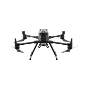
Desktop application with floating license (use on up to 2 devices simultaneously)
Unlimited desktop processing
Enable purchase of Student licenses
Includes personal support and updates for one year (later extensions available starting from 10% of license price)


Pix4D Mapper Educational Professor License
$1,990.00
The leading photogrammetry software for professional drone mapping.
The leading photogrammetry software for professional drone mapping.
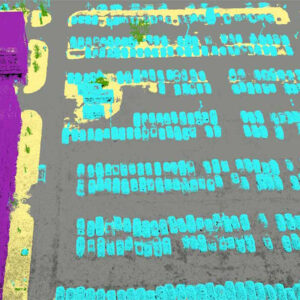
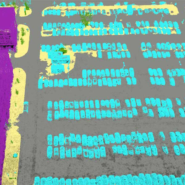
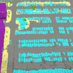
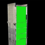
This professional photogrammetry software uses images to generate point clouds, digital surface and terrain models, orthomosaics, textured models and more. It is most often used by geospatial professionals such as surveyors and civil engineers.
Capture
Capture RGB, thermal, or multispectral images with any camera.
If you are using a drone, automate flight and image-data transfer with our free PIX4Dcapture app.
Digitize
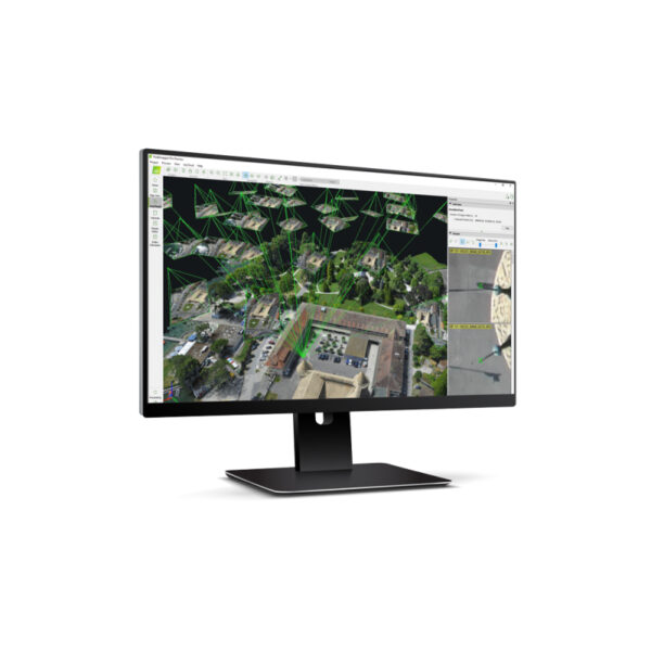
PIX4Dmapper’s photogrammetry algorithms transform your ground or aerial images in digital maps and 3D models.
Seamlessly process your projects on your desktop using our photogrammetry software, or bundle with PIX4Dcloud for online processing.
Control
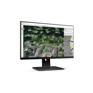
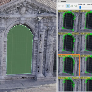
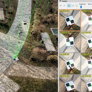
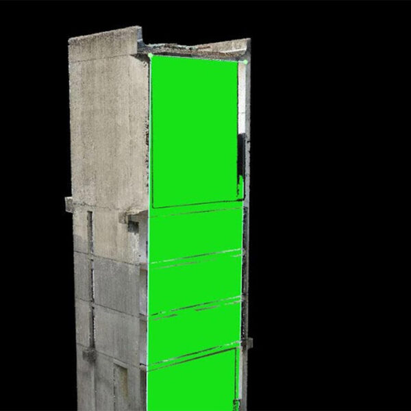
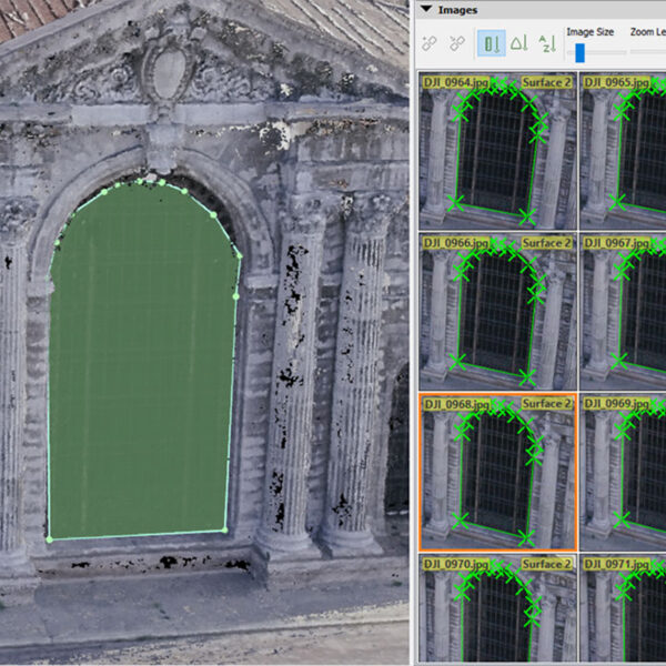
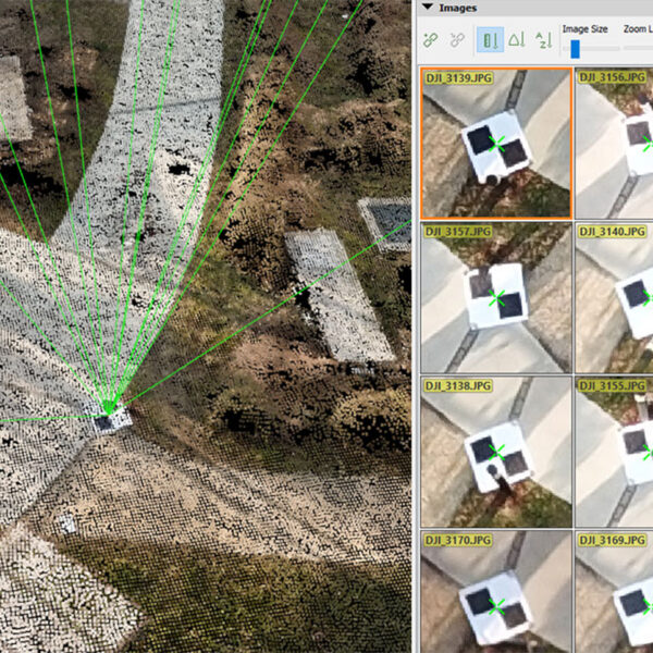
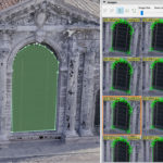
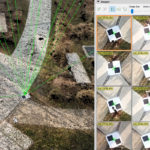
Use the power of photogrammetry in the rayCloud environment to assess, control and improve the quality of your projects.
Use the quality report to examine a preview of the generated results, calibration details, and many more project quality indicators.
Measure & inspect
Accurately measure distances, areas, and volumes.
Collaborate & share
Streamline project communication and teamwork.
Selectively and securely share project data and insights, with your team, clients, and suppliers, using standard file formats.
| mpn | LICENSE |
|---|

