Fully Integrated LiDAR & Camera Payload x 1
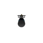
Applanix APX-15 UAV DG
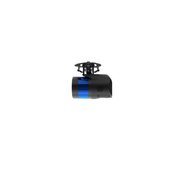
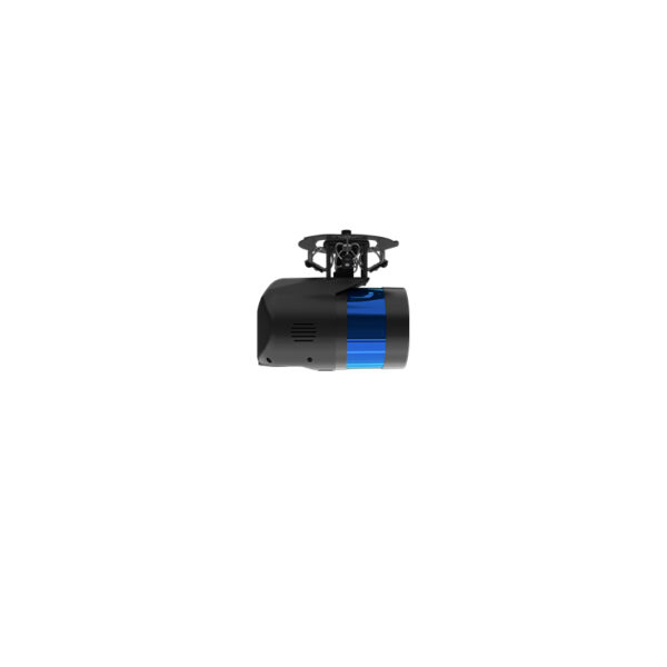
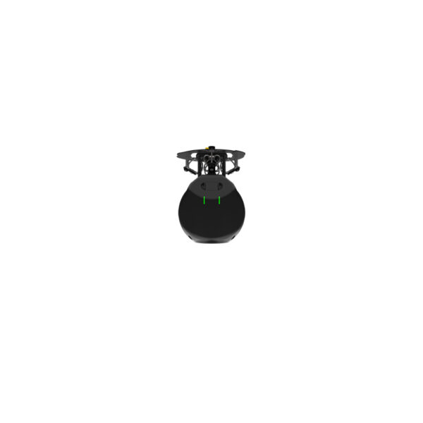
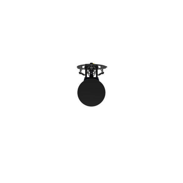

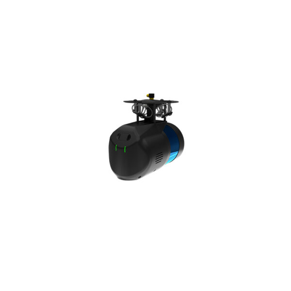
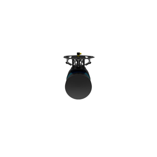
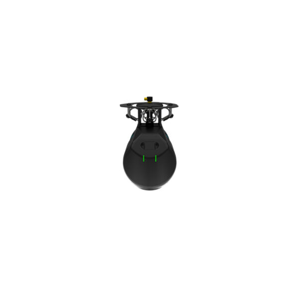


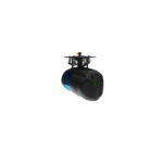


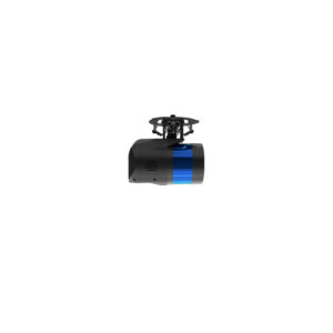

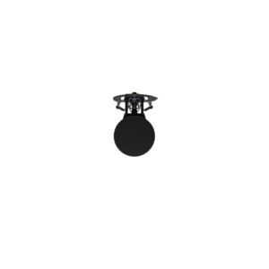


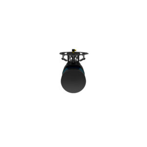
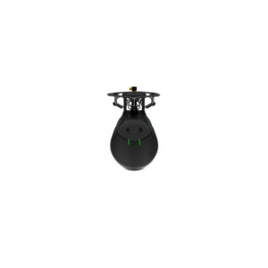
Microdrones Payload mdLiDAR1000LR
$38,000.00
mdLiDAR1000LR is a fully integrated system for producing 3D point clouds optimized for land surveying, construction, oil & gas and mining applications.
Request a Quote
LONGER RANGE LiDAR & 26MP CAMERA ALL IN ONE, TO COVER MORE GROUND
LR means longer range. You’ll cover more ground from above. This translates to more efficiency than ever – the survey equipment, software, workflow, training and support that you need to be productive in the field.
LiDAR + mdaaS + EASY TO USE mdInfinity SOFTWARE = EXTREME GEOSPATIAL PRODUCTIVITY, NOW IN HIGH RESOLUTION
Microdrones has developed an end-to-end LiDAR solution combining a drone, a LiDAR payload, a fully integrated LiDAR processing and photogrammetry software workflow, and world class support to consistently provide quality deliverables.
mdLiDAR1000LR is a fully integrated system for producing 3D point clouds optimized for land surveying, construction, oil & gas and mining applications.
Improved image acquisition precisely configured to match the laser scanner field of view enables compatibility with streamlined point cloud colorization and FORMap data processing modules within the mdInfinity platform.
Each LiDAR channel of the mdLiDAR1000LR is boresight calibrated to improve the data consistency, therefore providing a reduced Standard Measurement Uncertainty.
- Simple mission planning using mdCockpit
- User selects flying height, drone speed and LiDAR strip overlap
- Fully automated mission execution, realtime monitoring, and flight control using mdCockpit
- Thorough georeferencing data processing using the Applanix APX-15 UAV DG and mdInfinity Software
- Automated final point cloud processing using mdInfinity processing software
- Final point cloud in standard ASPRS LAS format, View your deliverable in mdInfinity software, or export to use within any GIS or CAD software environment that you currently use.
WHO SHOULD CONSIDER THIS SYSTEM:
Professionals responsible for geospatial data collection should consider mdLiDAR1000LR to support the following tasks:
- Digital Twin Creation and Maintenance
- Corridor mapping
- Mining (volume calculation)
- Construction site monitoring
- Environmental changes (time series)
- Forestry
- Contour mapping
- Planning, Leveling, Excavation
- Archaeology and cultural heritage
- Highway construction
- Precision Agriculture
SOLUTION COMPONENTS:
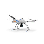
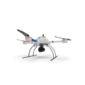
Platform: md4-1000
Payload:
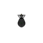
LiDAR Sensor: Velodyne Ultra-PUCK VLP-32
Camera Sensor: Microdrones CMOS APS-C 26MP (23.5mmx15.6mm)
Georeferencing: APX-15 UAV
Software:
mdCockpit
mdInfinity
TECHNICAL SPECIFICATIONS:
Takeoff Weight (TOW): 6400g
System Operation Temperature:
-10 °C to 40 °C
14 °F to 104 °F
System Accuracy: LiDAR Pointcloud 4cm RMSE
Photogrammetry
Horizontal: 2 – 3 pixels
Vertical: : 3 – 5 pixels
| Weight | 12 lbs |
|---|---|
| Dimensions | 18 × 14 × 12 in |