

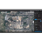

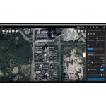


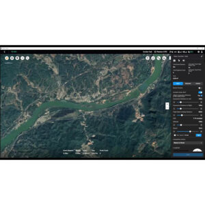
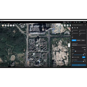
Capture, analyze and visualize your environment with DJI Terra – an easy to use mapping software [1] developed to help industry professionals transform real-world scenarios into digital assets.
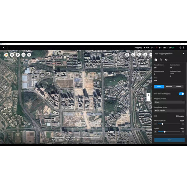
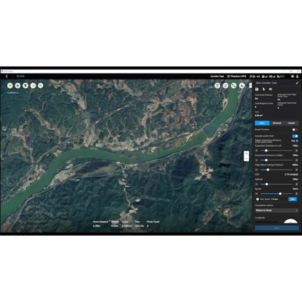
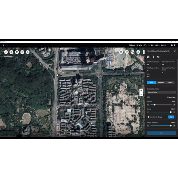
- Model reconstruction [2]: Import images to generate a high-resolution 2D orthophoto map and a high-accuracy 3D model.
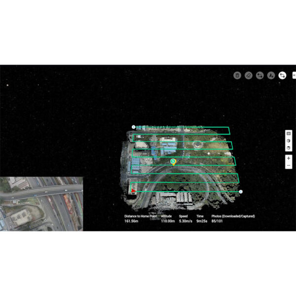
- Real-time reconstruction [3]: Generate a 2D orthophoto map and a 3D model in real time during the flight to output results as you fly.
- Lidar data processing: Working with DJI L1, DJI Terra can generate high-accuracy true-color cloud points with one click.
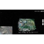
- Detailed Inspection [4]: Automatically generate routes based on target points marked in a 3D model or point cloud to automate inspection workflows.
- Model application: Easily measure targets’ coordinates, distances, areas, volumes, and other key data and rename or export the data results.
[1] A Windows 7 or later (64-bit) system is required to run the software.
[2] Minimum computer configuration requirements: 16 GB memory, an NVIDIA graphics card with a compute capability of 3.0 or above (4 GB graphic memory).
[3] Only Phantom 4 series are supported, and the configuration requirements listed in Point [2] also apply to real-time 3D reconstruction.
[4] Only supports exporting mission routes to Matrice 300 RTK or Phantom 4 RTK (NO-MONITOR RC).