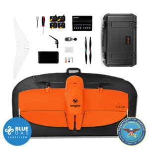
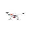
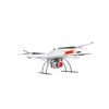
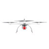
md4-3000 Aircraft x 1
Charger x 1
Flight Battery x 1
Carrying Case x 1
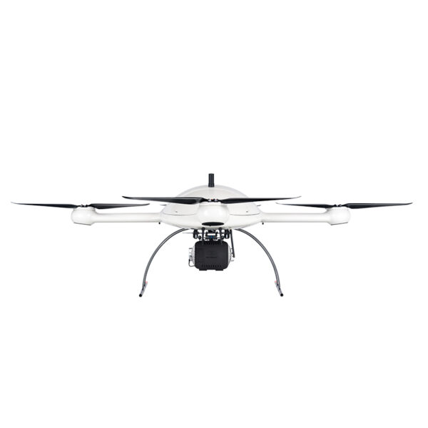
Tri-Blade Quadcopter
Integrated Cooling Covers
Mag-less Navigation
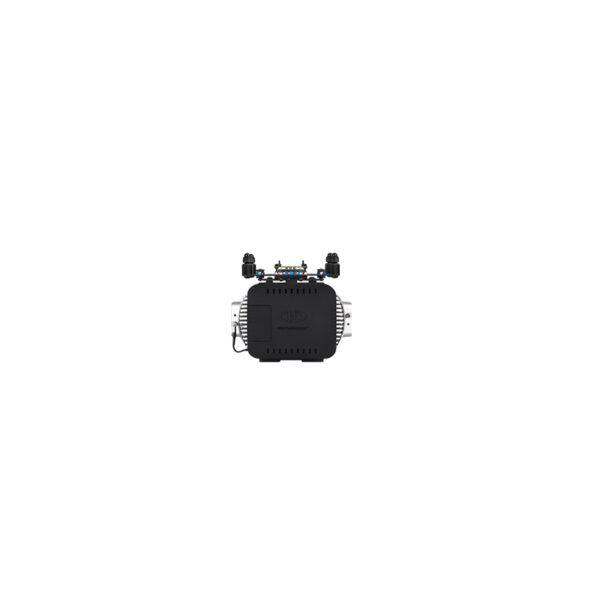
Encrypted Digital Data Link
mdRC Remote Controller x 1
Extended Communication Range Operation
Multiple Tablet Control
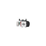
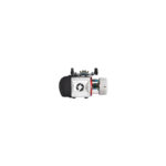
Fully Integrated Long Range LiDAR Payload x 1
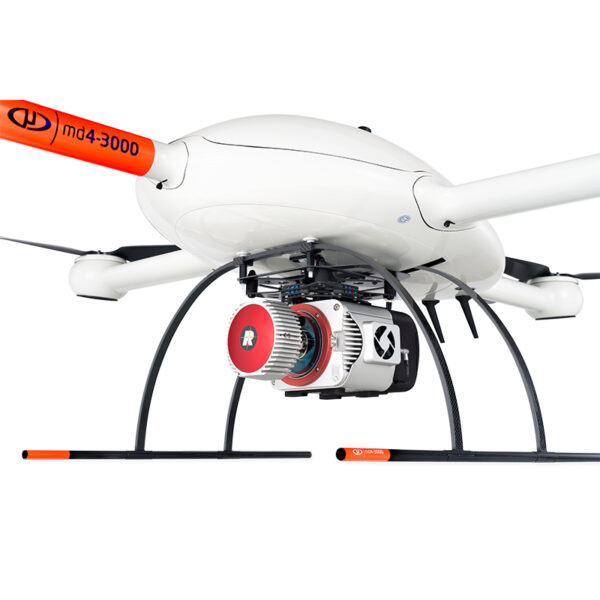
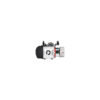
Applanix APX-20 External IMU
mdCockpit Tablet Software
Tap & Fly
FOV Side Scan

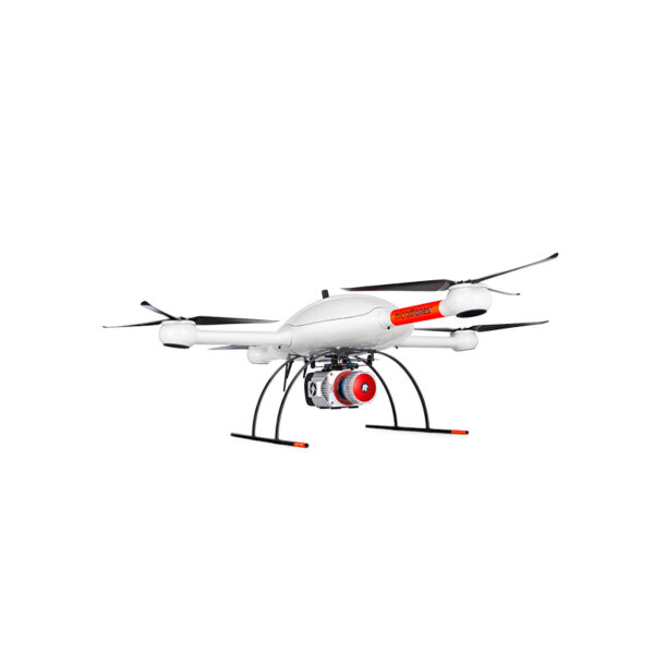
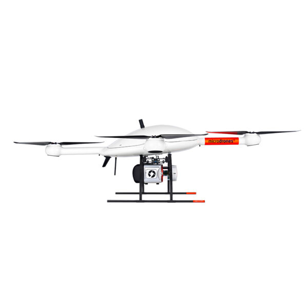
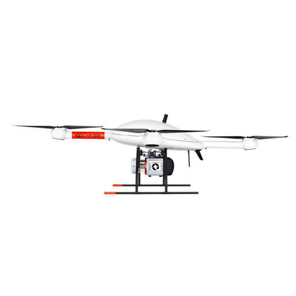


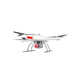

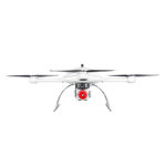
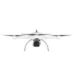
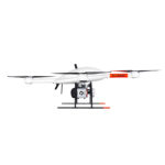
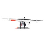


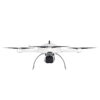
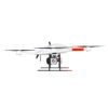
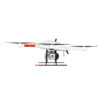


Microdrones mdLiDAR3000LR
mdLiDAR3000LR uses the lifting power, resilience and efficiency of the Microdrones aircraft platform to carry a perfectly integrated Riegl VUX-1UAV.
Request a Quote
THE MOST POWERFUL DRONE LiDAR SYSTEM EVER, WITH THE CAPABILITY TO COLLECT VERTICAL FEATURES VIA A WIDER FIELD OF VIEW.
Go extreme with the most powerful laser scanner… extend your data collection reach from high above or collect extreme point density when flying closer to the ground.
mdLiDAR3000LR uses the lifting power, resilience and efficiency of the Microdrones aircraft platform to carry a perfectly integrated Riegl VUX-1UAV.
The result? You can quickly acquire high density and accurate LiDAR data from high above your subject in the field and efficiently turn it into a 3D pointcloud back at the office or on your laptop.
SURVEY GRADE DRONE LASER SCANNING
By combining our robust and field proven md4-3000 airframe, with a highly precise and accurate Riegl VUX-1UAV payload, you can capture ultra dense LiDAR data quickly and safely in the field, and then turn it into a 3D point cloud back at the office or on your laptop.
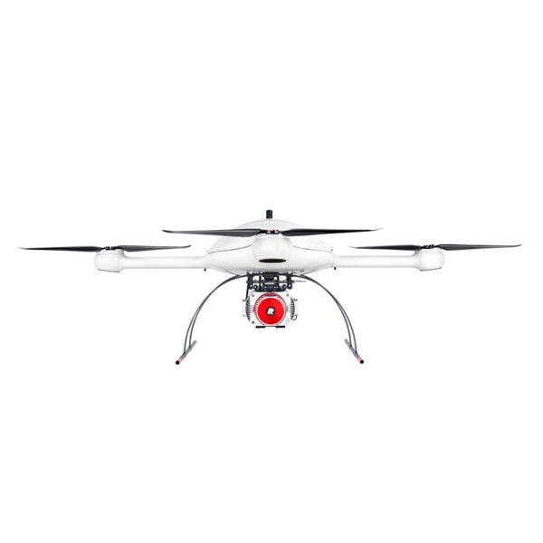
VERTICAL FEATURE CONFIGURATOR
By opening the scanners FOV you can now fully utilize the area between the skids for data collection and by using the configurable field of view option, you are no longer limited to flying above your area of interest.
WHO SHOULD CONSIDER THIS SYSTEM:
As you’ve come to expect, Microdrones provides you with the full solution: Plan, Fly, Process, Visualize. Only Bigger.
This is a serious machine for serious geomatics professionals in the construction, land development, engineering, surveying and research trades. It’s field tough and ready to work with you on the following tasks:
- Digital Twin Creation and Maintenance
- Corridor mapping
- Mining (volume calculation)
- Construction site monitoring
- Environmental changes (time series)
- Forestry
- Contour mapping
- Leveling/Excavation
- Archaeology and cultural heritage
- Highway construction
- Power Line Inspection
SOLUTION COMPONENTS:
Platform: md4-3000
Payload:
LiDAR Sensor: VUX-1UAV
Georeferencing: Trimble APX-20 UAV DG
Software:
mdCockpit
mdInfinity
Vertical Feature Configurator
TECHNICAL SPECIFICATIONS:
Takeoff Weight (TOW): 15713 g
System Operation Temperature: -10 °C up to 50 °C
System Accuracy: LiDAR Pointcloud
Horizontal: 1 – 2 cm
Vertical: 1 – 2 cm
| Weight | 110 lbs |
|---|---|
| Dimensions | 48 × 40 × 42 in |